Loading locations of Trove's digitised maps into the Gazetteer of Historical Australian Placenames
For this part of the ARDC’s Community Data Lab project, I’ve been focusing in particular on adding a series of researcher pathways to the Trove Data Guide. These pathways link data from Trove to a variety of tools and approaches and include five detailed tutorials. The first four were:
- Analysing keywords in Trove’s digitised newspapers
- Working with a Trove collection in Tropy
- Comparing manuscript collections in Mirador
- Sharing a Trove List as a CollectionBuilder exhibition
I’ve now added the fifth and final (for now) tutorial:
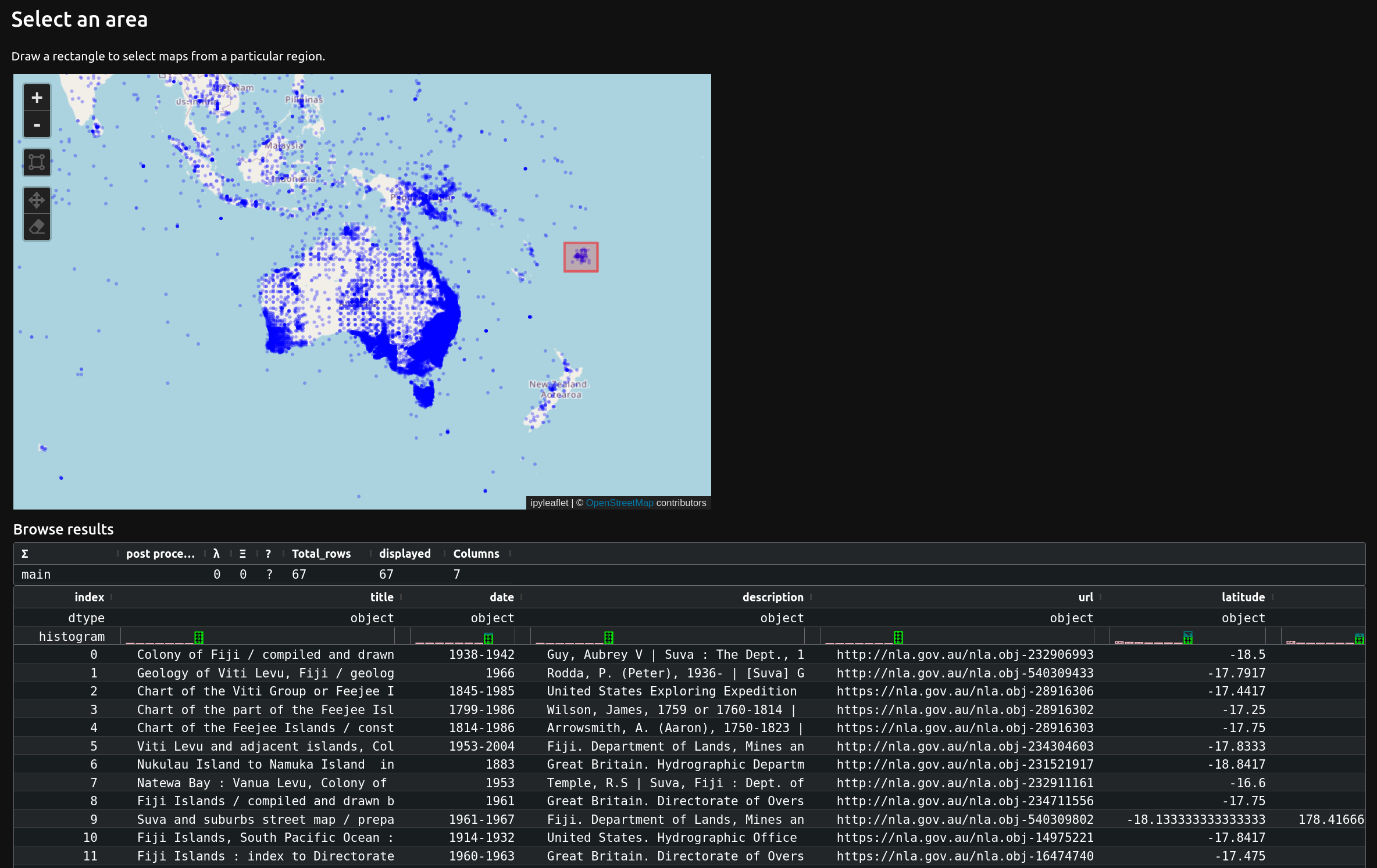
As has been the way in a lot of TDG development, this tutorial builds on and extends resources available through the GLAM Workbench. The Trove maps section of the GLAM Workbench already included a dataset of digitised maps and their coordinates, but for this tutorial I added a notebook that lets you create a subset of maps relating to a particular region. It does this by putting all the available map locations on world map. You then draw a rectangle on the map to select a region and display details of all the maps whose centre points fall within that region. It also displays links to download your new dataset as either a CSV or GeoJSON file.
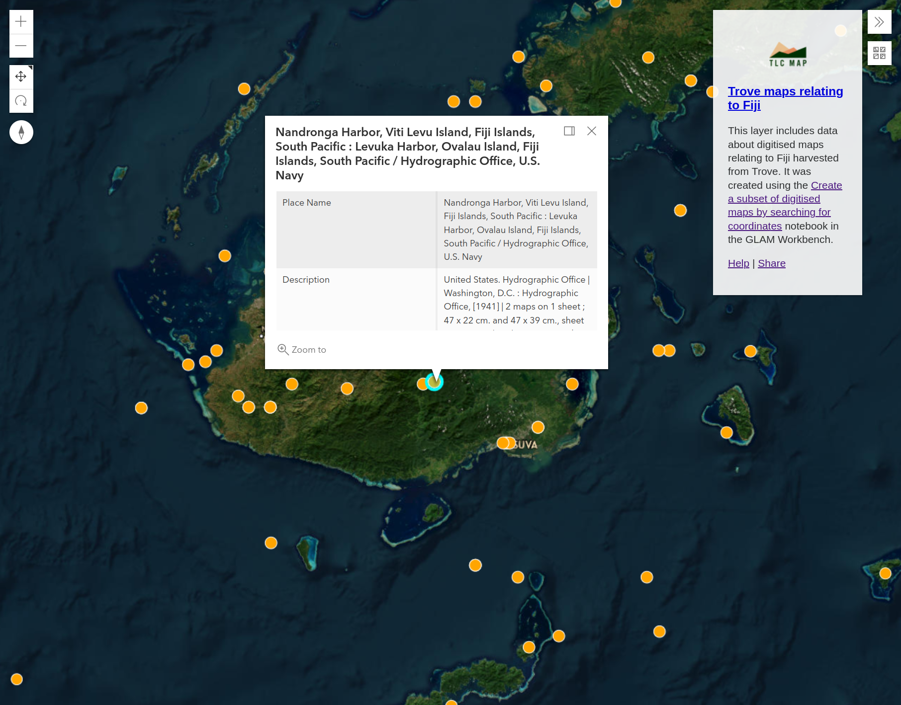
The tutorial walks you through this process, then demonstrates how you can upload data from the CSV file to create a new layer in the Gazetteer of Historical Australian Placenames (GHAP).
This part of the Trove Data Guide project is now finished, but I’ll be continuing to add and refine content. If you have any suggestions for additional tutorials, feel free to add them to the ideas board (no promises though!).