NLA MapSearch data rescue
A researcher recently alerted me to the fact that the National Library of Australia’s MapSearch service had been decommissioned. MapSearch was a standalone application that enabled users to find maps by location, and to georectify many of the Library’s digitised maps, aligning them with modern geospatial coordinates.
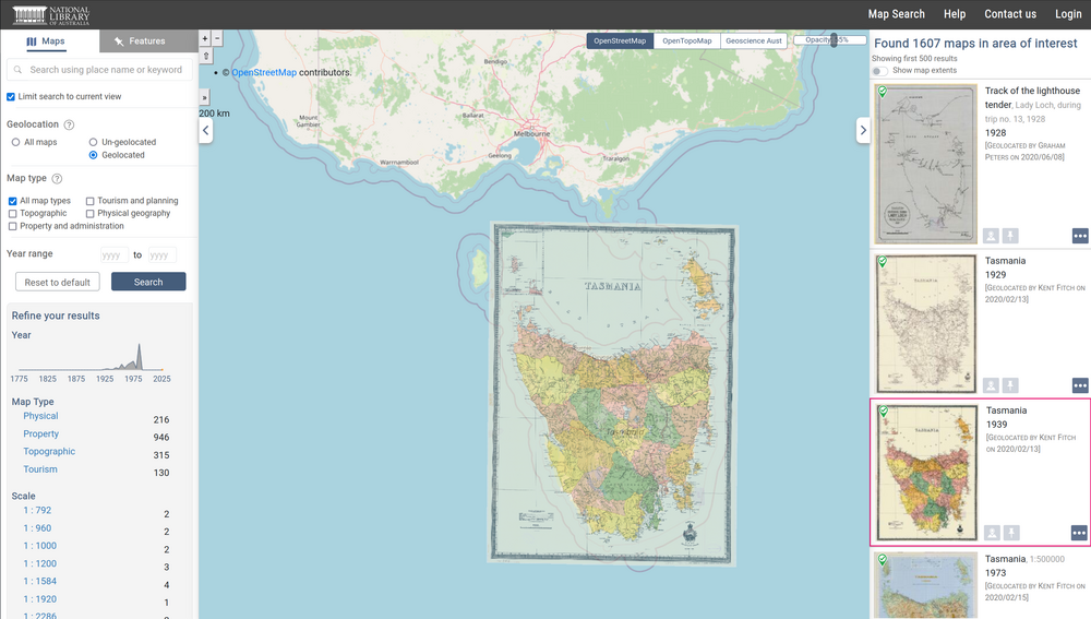
The researcher who contacted me wondered what had happened to this user-generated data. The NLA offered little clarification, and so he was hoping I might have saved it somewhere. And indeed, much to my own surprise, I had!
Flashback to late 2024 / early 2025 – I was working on a new section about maps for the Trove Data Guide. To provide an overview of what digitised maps were available, I’d updated and expanded my harvest of Trove maps and pulled together some related data. I’d previously extracted bounding boxes from the map metadata, but at some point I realised that I could query the MapSearch API using Trove identifiers to download additional geospatial data. But before I could finish my work on the maps, the NLA took away my API access and everything ground to a halt. I hadn’t really looked at it since…
Fortunately, sitting amongst the draft notebooks and data files I found a file called map-search-data.ndjson which contained all of the MapSearch API records I’d accessed in August 2024, saved in newline-delimited JSON format. The API data included the name and email addresses of people who had georectified maps, so I removed those columns and uploaded the dataset to the trove-maps-data repository as: map-search-data-noemail.ndjson (it’s about 20mb).
Connecting the MapSearch data to the digitised maps in Trove is easy. The objid field in the dataset corresponds to Trove’s nla.obj identifier, so if the objid is 233540719, you can find the map at https://nla.gov.au/nla.obj-233540719. See the Trove Data Guide for methods of downloading the map images, including high-resolution TIFF files.
So while MapSearch is gone, the user-generated georectification data is available once more. I hope you find it useful!